prev |
broken Islands may 2004_0058.JPG |
next |
broken Islands may 2004_0058.JPG
50.17 KB
prev |
broken Islands may 2004_0058.JPG |
next |
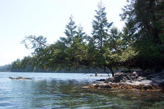
Here we are just off the shore of Dodd Island, to the west side of the Campsite. Took the next few pictures trying to outline the group with the fallen tree.
Had a tiny adventure getting here. Worth noting only as it proides some insight into travel in these islands. We had setoff today after the fog cleared. Instead of going through the Western channel on BRABANT Islands like we tried the night before, we went to the south.
I was following, and did not have a chart. I did have my GPS on to track the route. Anyways, we were going the wrong way, as we just sort of set off. It was not until Dave started questioning 'are we going to Nettle?' that we decided we best turn 90 Degrees. Apperently folks become lost in these islands all the time. In this case, it was a simple matter of using our GPS to confim Dave's suspicion, this was due to us not consulting our charts before setting out.
Related, is later often at least one of us wouls really miss read the charts. This due to not being familiar with a map with such a small scale. Detail was so fine on the charts that passages with just room for a kayak to fit through were shown. Often 'bays' on the map were miss read, as they were in real life very small.
Did we get lost... no, not even close. But it was a bit of an eye opener for this guy.